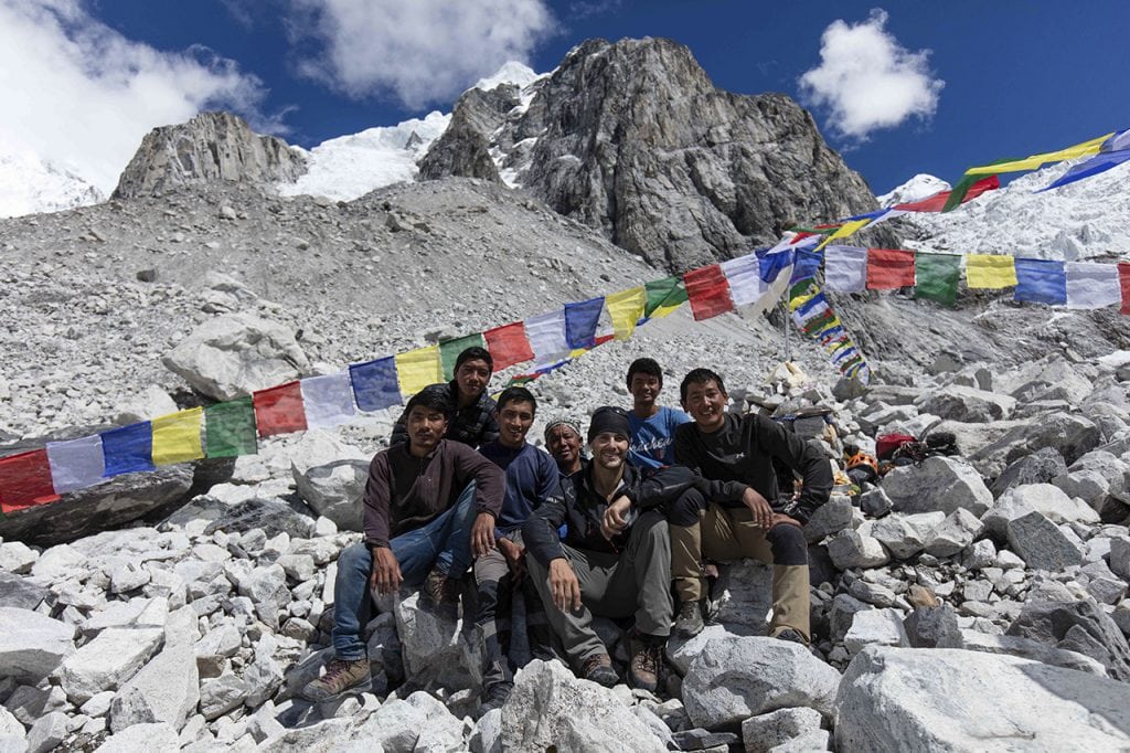
As we descend to basecamp the first thing we do is visit the puja altar, scoop a small handful of rice in our left hands, place our right hands on our heart and toss the rice in the air as an offering to the mountain Gods. According to the Sherpas, this is a gesture of respect and gratitude.
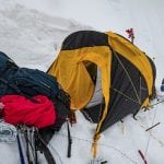
It would be easy to feel deflated or defeated after this last rotation. After all, we risked our lives sleeping on the exposed ledge we carved out on the side of the mountain with our ice axes. Rather than see it all as a failure, we choose to be optimists and see it as a success. We endured extreme hardship and climbed as high as we could before concluding that there was no way to access camp one from where we were. Even if we would have continued on and scaled the 90-degree ice wall that Pasang Kaji scouted when he disappeared from my view, there was no guarantee we would reach the plateau that is the gateway to the upper part of the mountain.
Initially when this project was conceived, the plan was to show up at the bottom of the mountain and figure it all out on the spot without any assistive technology. While I admired this pioneering spirit, being the tech geek and filmmaker that I am, I argued that it would be foolish not to use the modern day tools accessible to us to help us plot a safe path to the summit.
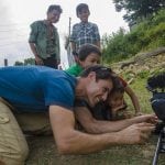
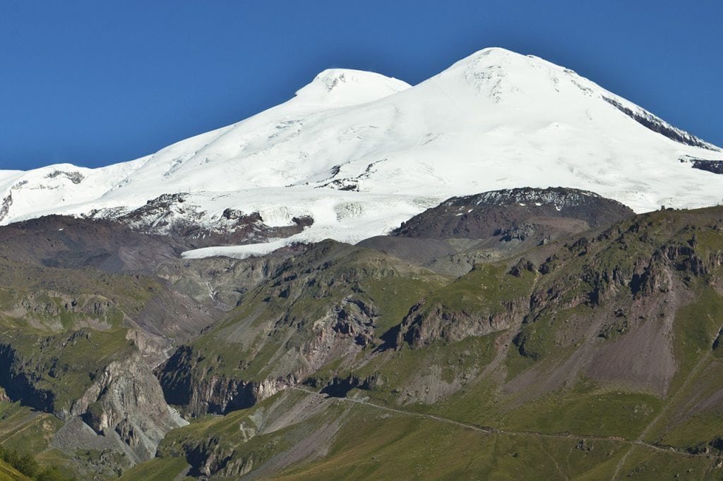
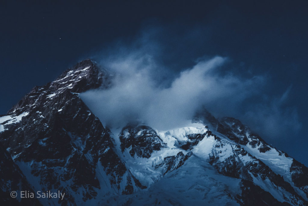
Below, you can see some of the 3D satellite images that we’ve been using to get to navigate the unclimbed terrain. Our friends at ESRI have put together an incredible 3D map and have even marked the summits using the GPS points we provided them with. In addition, we’ve been using binoculars, special cameras provided by Canon Canada with impressive digital zoom capabilities and high resolution DSLR cameras that I use to photograph the mountains from a distance which we then load into my laptop and study.
Our original plan was to scale these two unclimbed peaks as a three-man team. After Gabriel’s accident and evacuation, combined with the time it took to get him down to safety, the 55km trek back to basecamp, the turning of the yaks around and carrying all the gear back to basecamp, we lost three weeks of climbing. At a serious disadvantage, all of a sudden students like you stepped up and began studying the satellite imagery and proposing climbing routes. In addition, a perfect stranger that we’ve never met named Louis Rousseau, another profession climber, also began sending us route options using satellite imagery and 3D maps. We feel as though we now have an extended virtual team all working together to help us access the upper part of the mountain. We’re incredibly grateful for the support – the power of teamwork!


As of today, taking everyone’s suggestions into consideration, given the Monsoon weather and the ticking clock on our climbing permit which expires on Oct 14th, we’ve concluded that we have one option left. It’s an option that we have been avoiding since day one because of how dangerous it is.
To the right of basecamp, there is an unstable icefall that is collapsing and shifting daily. As we sleep, we hear the constant sound avalanches and the roar of thunderous rock fall coming from that area. It was a path that was momentarily considered early on, but then quickly discarded due to the extremely high level of risk. At this point, PK and I have concluded that it’s the only option we have left.
We’re going to sleep on it, carefully consider the risk vs. reward scenario and make a decision as soon as possible. If you were in our boots, what would you do?
For now, we’re recovering from the last rotation, filling up on Dhal Baht (rice and lentils) and getting some well deserved rest before making the most important decision on this expedition.
Much love,
Elia and PK
